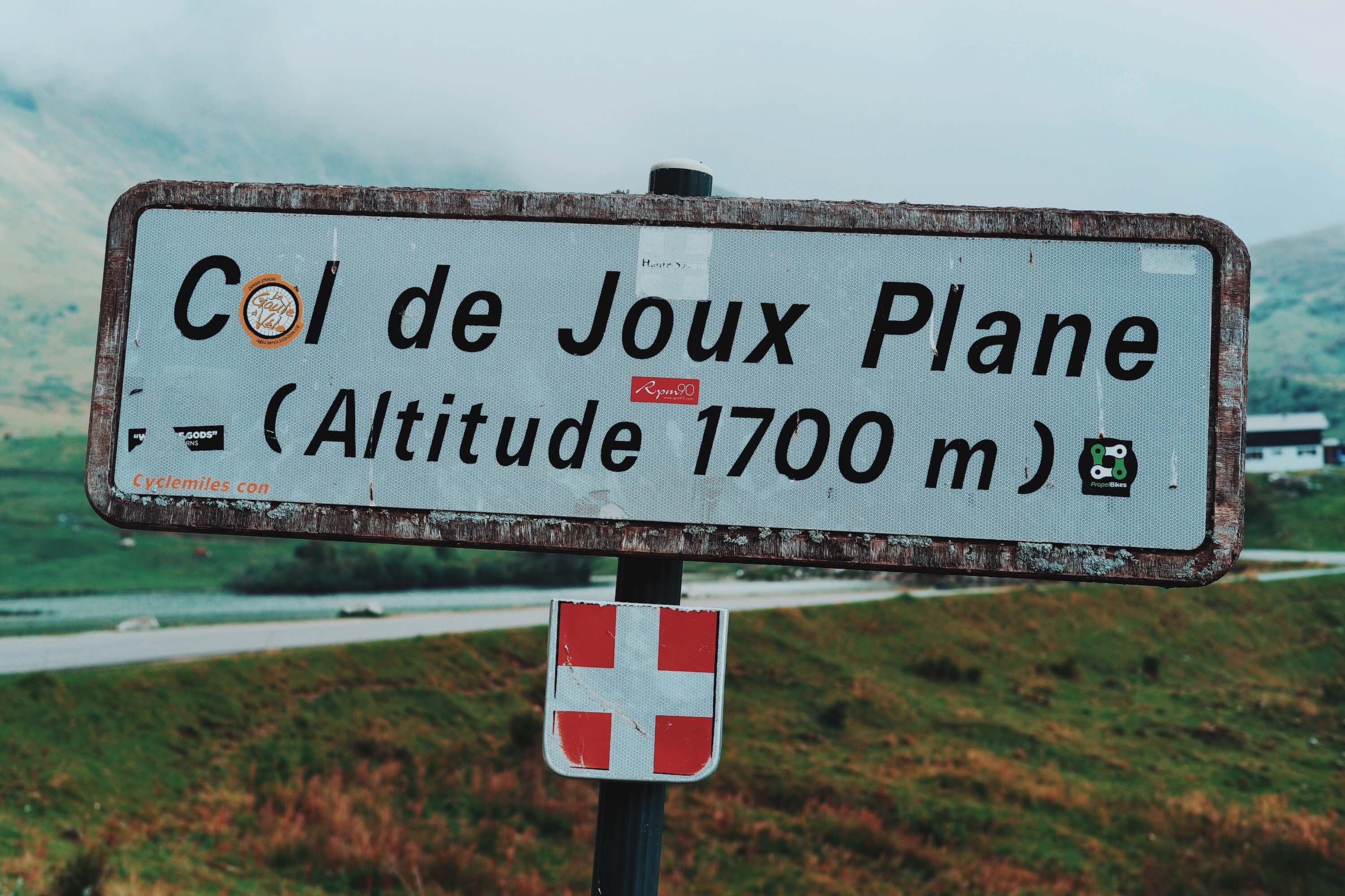
The Col de Joux Plane is an often forgotten mountain pass that links the villages of Samoëns and Morzine. Known as one of the tougher climbs on the Tour de France, long and sinuous with a summit of 1700m, it has been featured in no fewer than 12 tours. Starting in Samoëns, a small village near the end of the Giffre Valley - the start of the pass road is lost in a maze of minor village roads. The D354, to give it its official number, runs across the top of the village and there are multiple ways to get on it. From the centre, a sign points to 'Col d Joux Plane 12km' which takes you in the right direction, if not the most scenic.
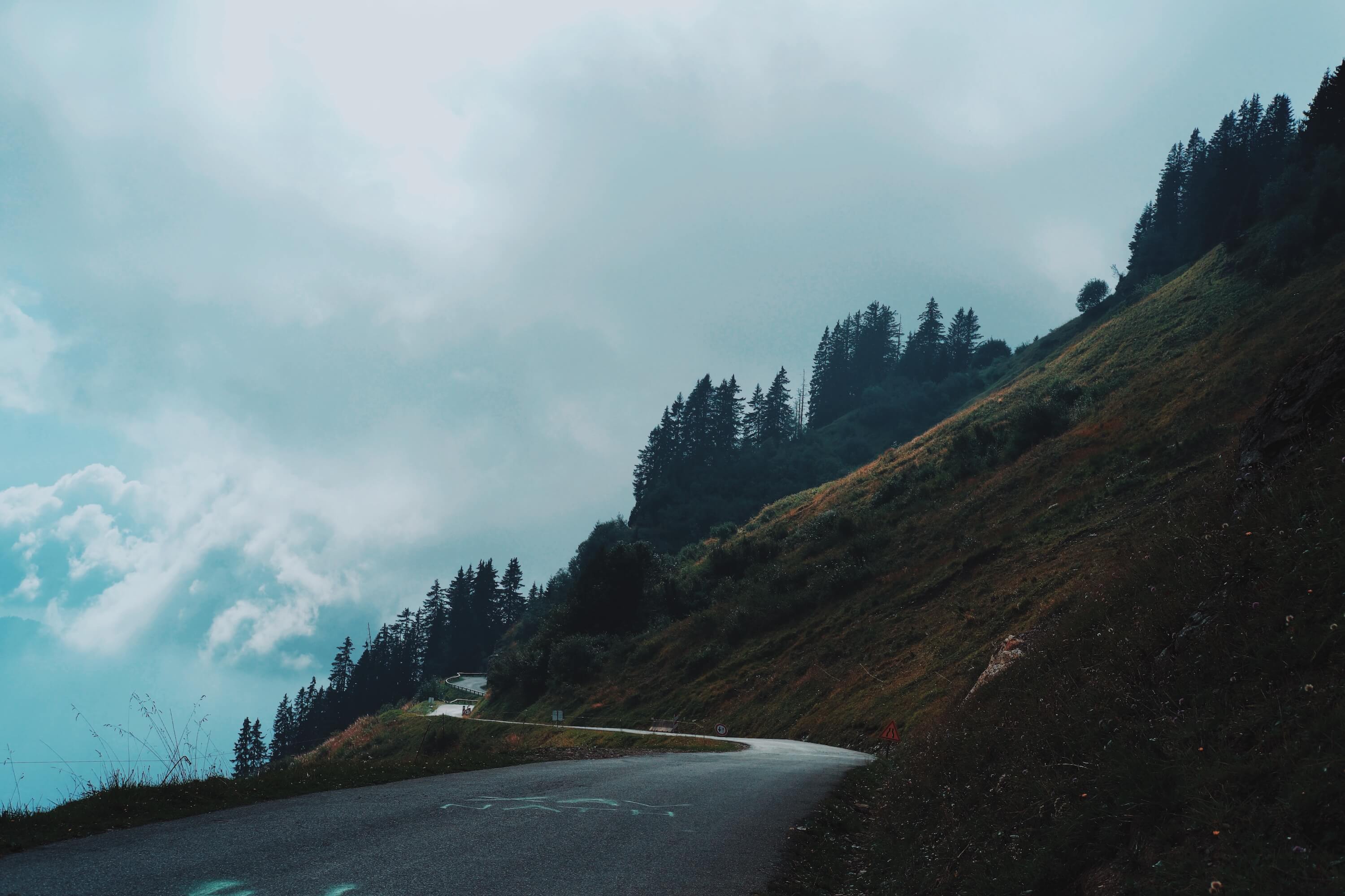
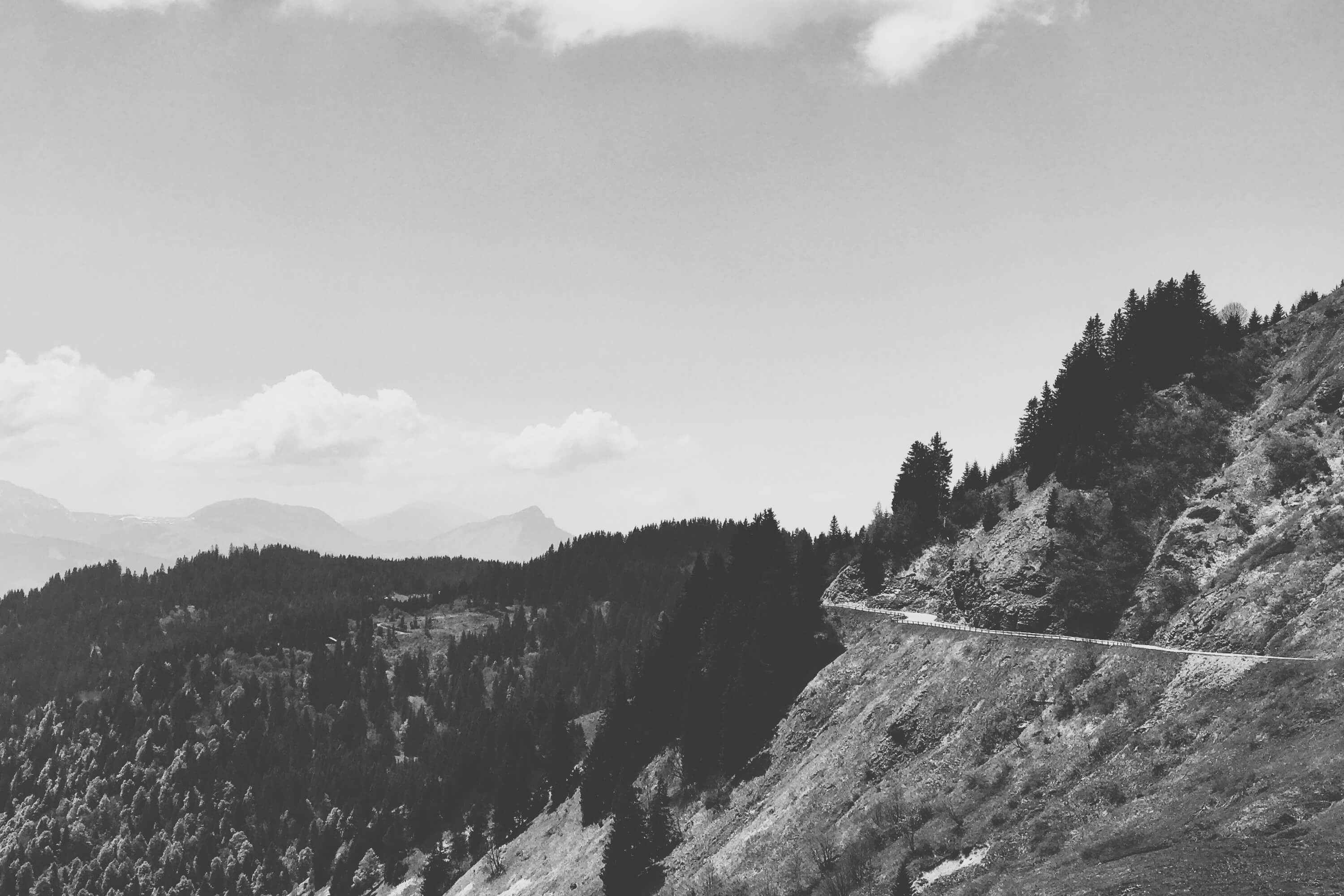
The start takes you through a series of anonymous communes on a steady climb on often narrow roads. As the chalets thin, you may notice markers in the middle of the wide hairpins counting down the distance to the summit. The road remains narrow, often a single carriageway as the chalets become pastures and farm buildings. Dogs bark somewhere in the distant fields and cows graze roadside. As we pass a sign marking the need for snow chains in winter, pastures are replaced by steep forest and the road starts to climb in earnest.
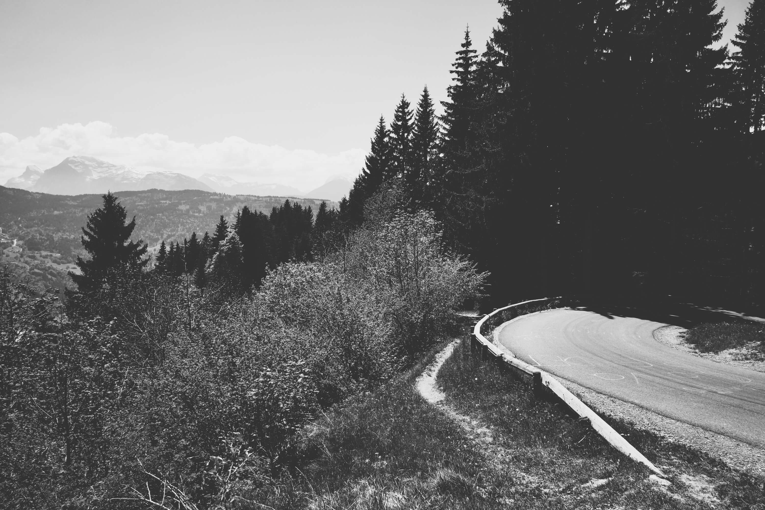
Pausing at one of the few cliffside hairpins reveals another facet of the pass. A short, steep hike upwards on a precipitous edge brings us to a wooden structure that leads out to an abyss. In normal life, a sheer drop to the valley floor of nearly 2000m would mandate a sturdy fence and a few warning signs but here a ramp down and out into the clean air just sits at the side of the trail. Designed for parascenders to leap into the void, these are not uncommon in the French Alps. The view of the Giffre valley is outstanding but jumping seems madness.
If you continue up the trail you eventually reach the viewpoint at La Bourgeoise. Trails lead back down to Samoëns for hikers or bikers with a series amount of tree roots to negotiate. The trail passes back gardens on its way back down including a swimming pool and sunbathers, an odd sit whilst on a mountain bike.
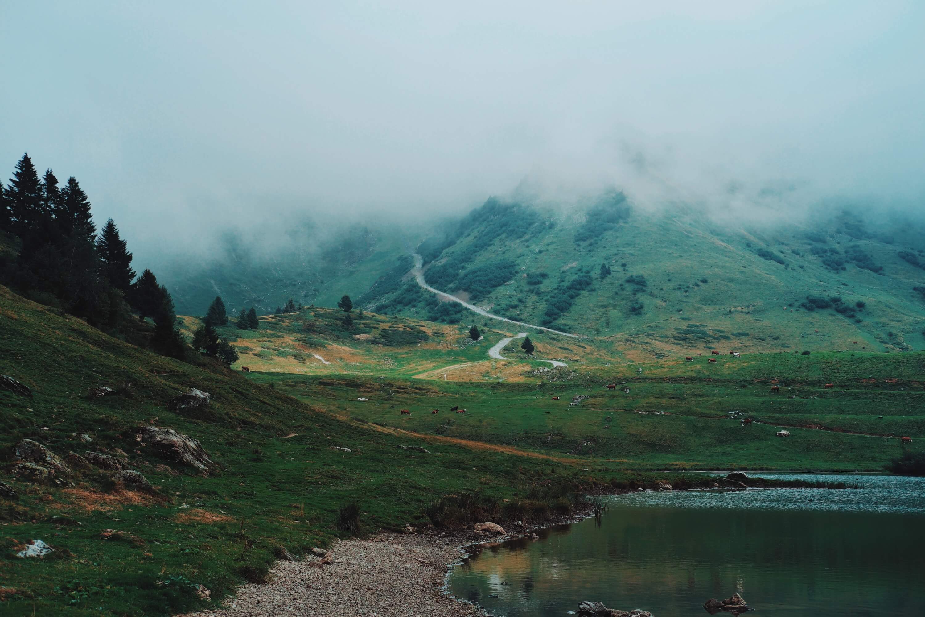
Back on the pass road, the forest takes a steep back once again to open pastures and eventually the Joux Plane lake and summit. It's a nice spot to stop and enjoy the views over both valleys and stroll around the lake. The pass now plateaus and the valleys change as we enter the Portes du Soleil ski and bike area. Col du Ranfolly is marked by chairlifts at the top of the Les Gets ski and bike park which either stand abandoned in spring and autumn or are busy with bikes in the summer.
The descent into the forest begins. Chairlifts continue to appear and cross the pass road, which closes for skiing in the winter. The descent is 12km, approximately the same as the ascent and similar in many ways. The views this time are of the mountains of Nyon with Avoriaz in the distance. There are no cliffs this side of the pass and as we descend the final quarter it's ski developments, not farms that surround the road. The D354 becomes the 'Route des Nants' and the end comes on a minor road at a roundabout on the outskirts of Morzine.
