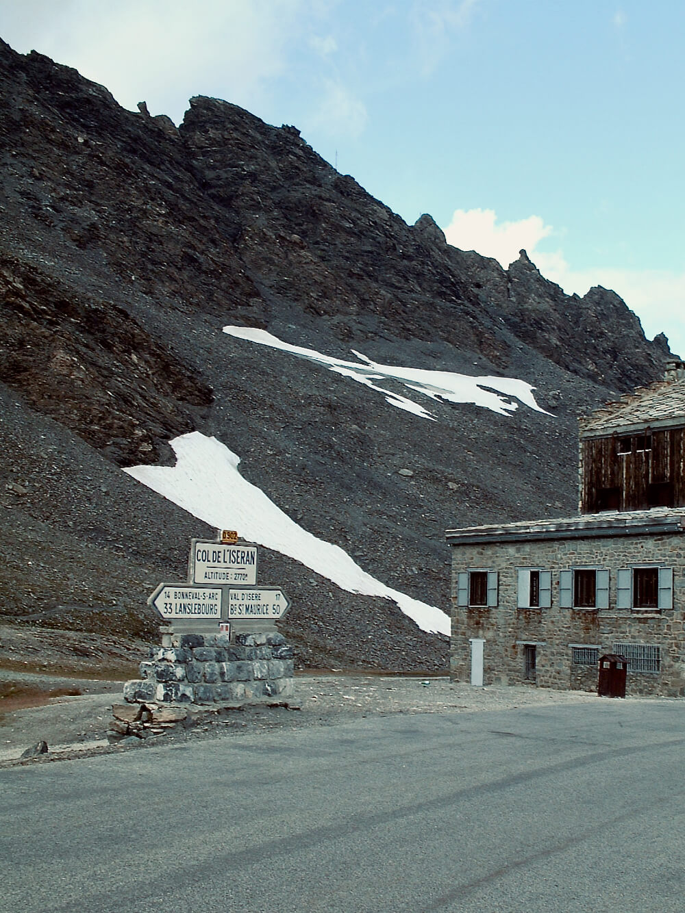
The Col de l'Iseran in the French Alps at 2764 metres above sea level, is the highest paved pass in the Alps. Others may go higher but none of them goes anywhere. Col de L'Iseran is part of the greatest alpine road, the Route des Grandes Alpes from Lake Geneva to Menton on the south coast and connects the valleys of the Isère and Maurienne between Val-d'Isère in the north and Bonneval-sur-Arc in the south.
The pass is only accessible by road during the summer months. In the winter it falls within the Espace Killy Ski area of Val d'Isere and Tignes and can be accessed by ski lifts. In the summer the Col is the highest point of the GR5 hiking trail that is the walking equivalent of the Routes des Grandes Alpes running from Lake Geneva to Nice and enters the Vanoise National Park soon after the descent.
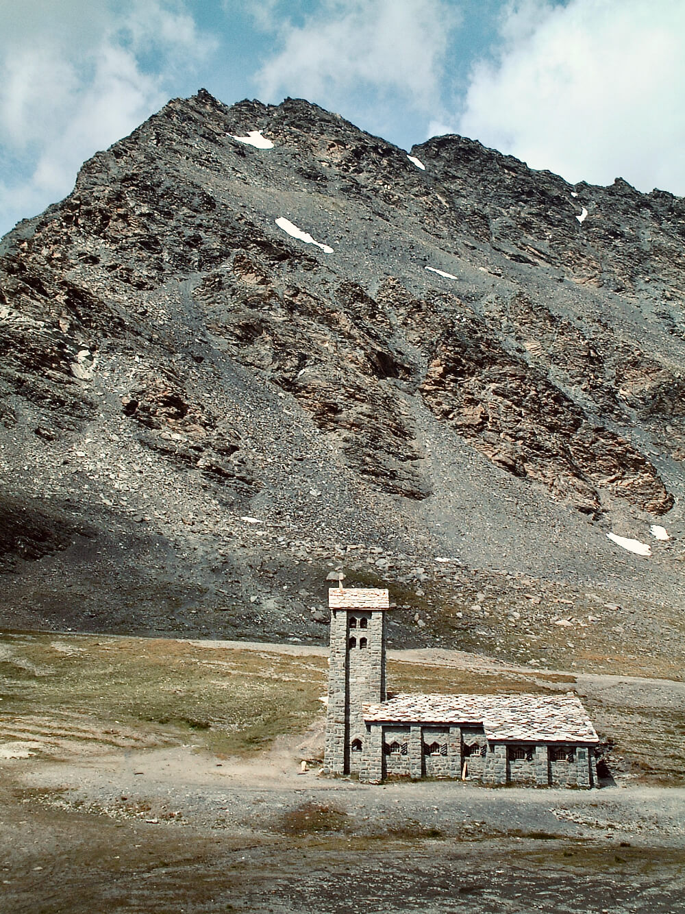
Starting from Bourg-Saint-Maurice, the lowest point in the valley, the climb to the Col de l'Iseran is 48 kilometres long. From Val-d'Isère it climbs 895 metres and 15 kilometres of road to reach the summit. At the top, the Chapelle Notre-Dame-de-Toute-Prudence sits dramatically on the plateau with an old refuge, now a restaurant and a souvenir shop. It's a popular spot thanks to its proximity to the National park and ski resorts and is often overrun with camper vans, regardless of any Tour de France activity.
