The Col du Petit St.Bernard (Little St.Bernard pass) links the Aosta Valley in Italy with the Tarentaise Valley in France and has always been of critical value to both countries. It was back in the 11th century that Bernard of Menthon, an archdeacon in charge of caring for travellers, built the hostel that sits just below the passes 2188 metre high summit. Bernard first founded a hostel on what we now know as the Great St.Bernard Pass. Back in 1050, it was used by French and German pilgrims on their way to Rome and both passes were considerably more difficult to cross than today's road crossing.
Since Bernard's time, the pass has seen plenty of visitors - from pilgrims to armies, some say Hannibal crossed it on his epic voyage but no evidence of him has been found on this or any of the passes. The hoof prints of ancient pachyderms no doubt lost in the snows of time. Fought over since the 17th century and during both great wars, it has divided France and Italy - its frontier and sovereignty moving with the victors.
Today even the customs office lays abandoned thanks to the free movement of people and goods within the European Union. The hostel no longer protects the pilgrims from avalanches but instead offers trinkets to tourists who venture from their cars or coaches. Closed to traffic in October when the snow takes over, it remains accessible on skis during the winter season, thanks to the cable cars of the Espace San Bernardo ski area.
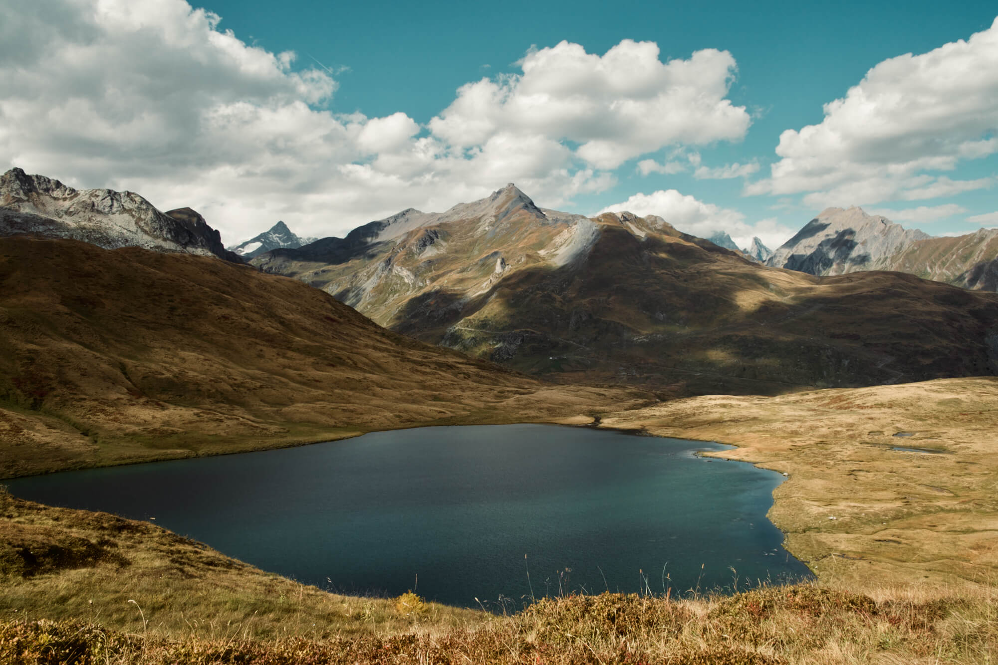
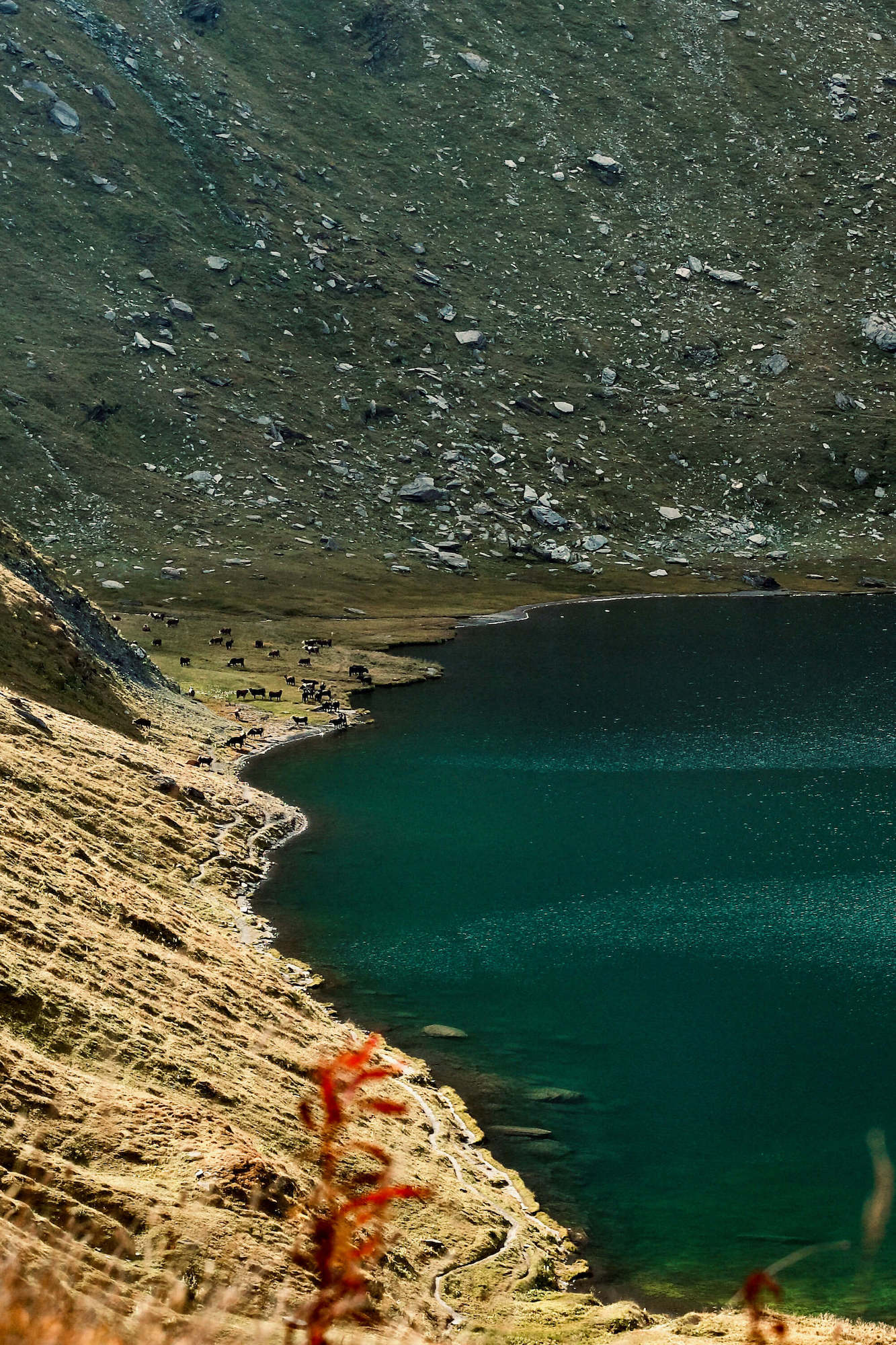
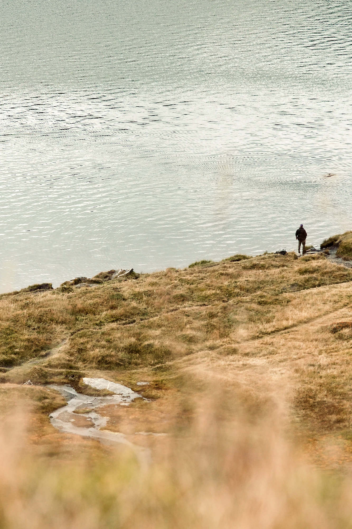
At the top of the pass is the 200-metre-wide Lake Verney - the largest lake in the Aosta Valley. Surrounding the lake are the mountains of Bec des Rousses and the Chaz Dura, with the Mont Blanc range visible on a good day in the distance.
The Pass
Starting in La Thuile in Italy's Aosta valley and climbing steeply through a series of hairpins and pastures to the French border at 2188 metres, the pass is 44 kilometres long with a descent that drops over 2000 metres into France's Tarentaise valley.
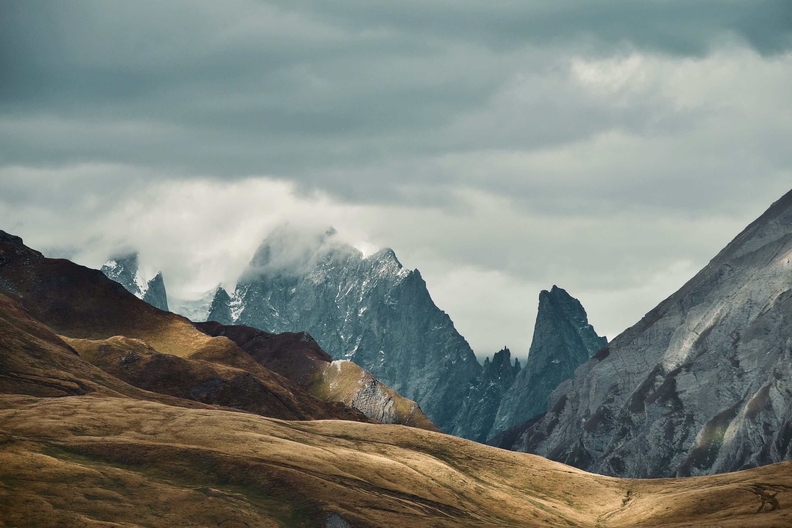
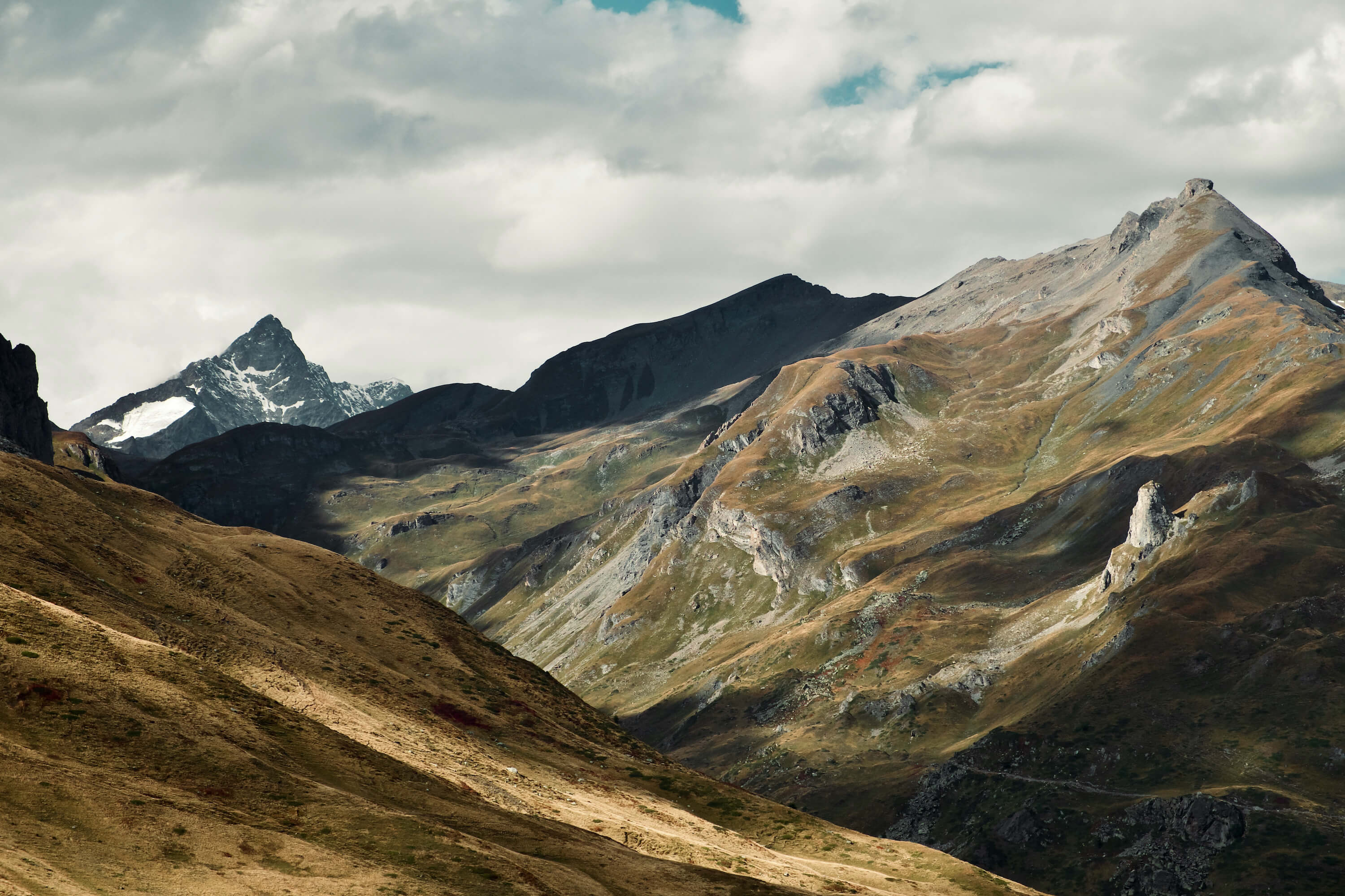
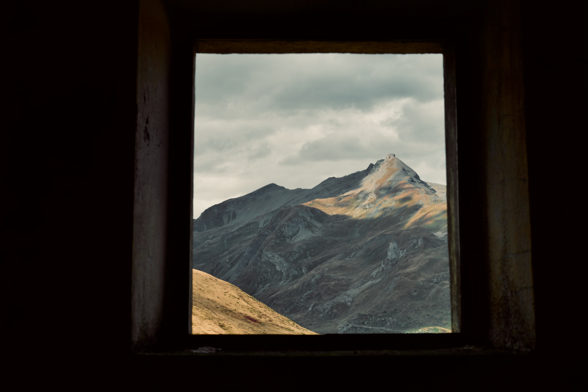
Whether climbing the road, the trail or on the ski lifts, the views are impressive and you get a sense of remoteness, unusual for many alpine passes. Leaving La Thuile the road twists and turns through mostly pastures to your right and steeper forest cliffs of the ski area to your left. Pastures mean farming and there is always the chance of being slowed by farm vehicles or the beasts of the field that still use the road to move from pasture to farm and back. Watch out for a sudden lack of traction or an errant hoof. The road can also be a little worn out in places thanks to farm traffic and the Italian's lackadaisical approach to road maintenance. We climb the final few hairpins and the valley opens out to a large plateau that indicates we have made it to the top.
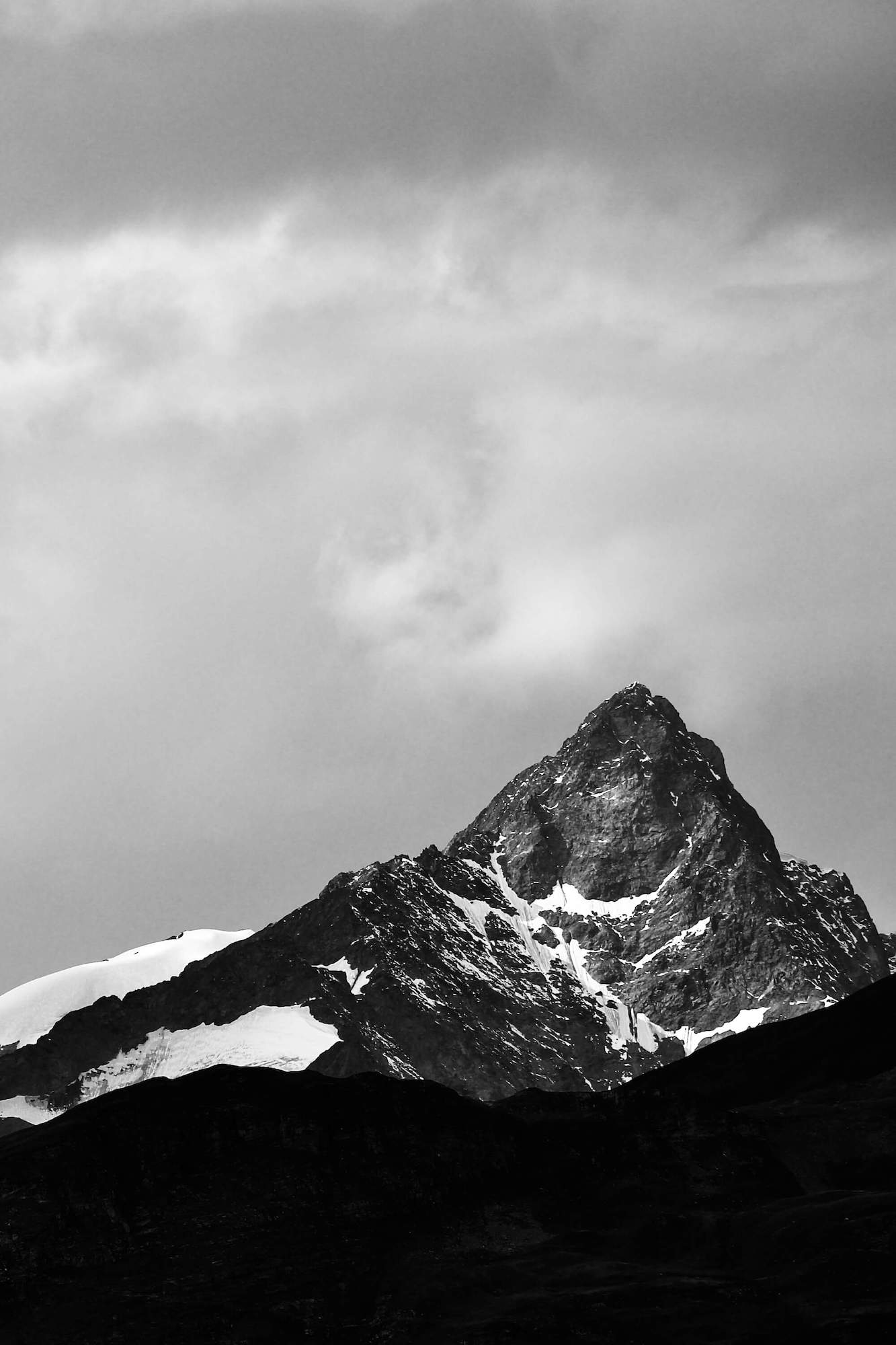
Lake Verney sits in a bowl below the plateau. Across the lake views towards Mont Blanc dominate with peak upon peak appearing amongst the clouds. Above us, the ski lifts rise to the La Thuile ski area. Speaking of the ski lifts, there's also a good mountain bike trail that uses them to get you near the top. I say near the top as in summer they don't run all the lifts and you are left with a steep climb and then a slightly less steep climb to get to the top. From here an epic descent down to the pass and back to La Thuile ensues. After the rocky fire road from the top, you cross the pass onto singletrack down to Lake Verney before following the course of the road back down a variety of trails back to La Thuile.
Back on the plateau, there are a series of abandoned Italian and French former customs buildings, now standing empty. Amongst the meadows, there are the remains of buildings from the Roman era, unearthed and restored at the end of the 1920s. More ancient ruins in the form of a large circle of 46 stones at 4 metres distance from one another, sits right on the border marking a pre-Roman presence of man. Its exact date and use are unknown.
The hostel, founded in the 11th century, was repeatedly destroyed by wars and fires but was always rebuilt. At present, it hosts a museum and tourist information. A statue of Saint Bernard on a high marble column completes the passes history lesson. Back on the road, we cross the border into France without issue. On this day two Carabinieri, (an Italian military force charged with police duties) heavily armed, patrolled the empty plateau, seemingly misplaced. It's been a while since guns have been of use up here. The pass was important during the World Wars as part of the Little Maginot Line or Alpine Line including the Fort de la Redoute Ruinée whichcan be found on the high ground above the road.
The descent into France is long and spectacular. You can see the valley before you, the wide-open terrain takes you to La Rosière and under ski lifts that form part of the linked system to La Thuile. La Rosière is a collection of small hamlets, quiet in the summer and unlike the scenery which now changes dramatically to dense forest.
A seemingly endless series of long hairpin bends, through the coniferous landscape sweep down the ever-tightening valley. As the trees thin, alpine dwellings start appearing until we bottom out and Bourg St.Maurice appears, packed into a gap in the Tarentaise valley.